All You Need to Know About BIM and GIS Integration
Oct 08, 2024
Category: BIM / Digitization / Automation
Admin
Cities are expanding their horizons and we have to build new infrastructure and buildings to cater to the various needs of the people. Developing robust buildings and infrastructure is crucial to enhance everyone’s safety and comfort. BIM and GIS integration empower the AEC experts to design and build powerful structures.
Geographic Information Systems (GIS) provide information to Building Information Modeling (BIM) about an asset’s surrounding environment. BIM leverages this information to create the optimal design. In this blog, let’s discuss BIM and GIS integration, its benefits, applications, and more.
What is BIM?
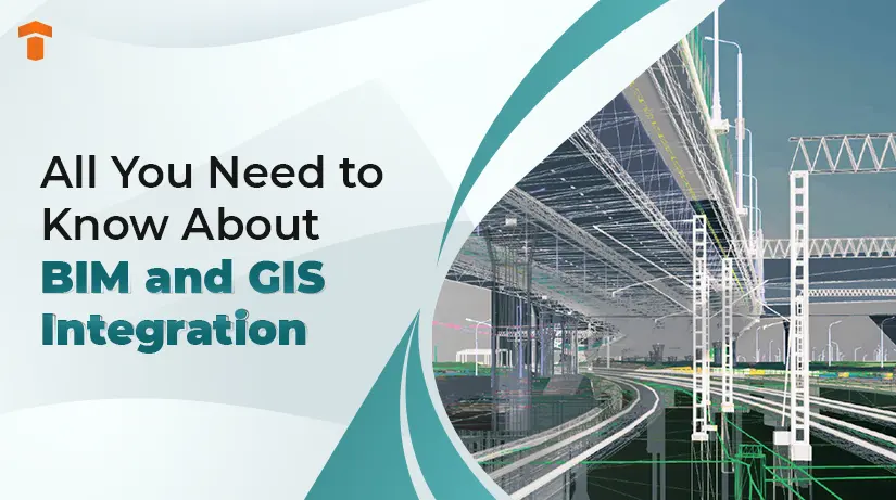
BIM is a cutting-edge tool that helps create 3D models of the physical and functional characteristics and geometric data of a proposed structure. Architects and engineers maximize this resource for document management and team collaboration.
This tool is also efficient for 4D construction sequencing and trade collaboration. Navisworks, Revit, Civil 3D and AutoCAD 3D are some of the most popular BIM software.
What is GIS?
GIS offers 2D and 3D geospatial models. It is a high-tech tool that offers information about natural and built environmental assets. GIS is also helpful for the AEC industry in gathering data about demography, geography, environment and social economy.
This system uses maps to collect, create, integrate, manage, analyze and visualize spatial data. Users can better understand patterns, spatial relations and geographical context through it. As a result, GIS can help in efficient decision-making regarding operation & maintenance and facility management of the assets.
Process of BIM and GIS Integration
The AEC industry is taking giant steps towards BIM and GIS integration. You must optimize the flow of information among BIM, CAD and geographical data to connect BIM and GIS.
For example, professionals use ArcGIS BIM to support BIM and CAD file formats. These formats are used in planning, construction, inspection, operations and maintenance. BIM and GIS integration is efficient in collection of the most accurate data for construction and design firms.
Benefits of BIM and GIS Integration
Better Data Visualization
The integration of building information modeling and geographic information systems plays a pivotal role in boosting data visualization. A 3D model of a building can provide a comprehensive and intricate overview of the project.
Furthermore, availing information about the major components and geospatial data is also easy. Improved understanding of the project helps stakeholders in better decision-making.
Accurate Site Selection
BIM and GIS integration ensures that engineers get a fine site for the construction. The data that GIS generates may refer to climate, terrain, topography and accessibility.
Professionals can leverage this data to explore multiple scenarios and realize the effects of variables involved in planning and designing.
Asset Management
Another factor that makes BIM and GIS integration advantageous is asset management. It is paramount to have deep insights into the condition of each asset for effective asset management.
BIM uses its real-time facility management tools to model assets in a detailed manner and integrate them.
Boosting Infrastructure Operation Intelligence
The Internet of Things (IoT) is a revolutionary technology that has taken the construction process to a new level. IoT is a powerful tool that helps monitor seismic and thermal activity in solid structures such as buildings and bridges.
This way, new designers can plan and use data gathered through sensors to increase the operational maintenance of large assets.
Environmental Effects and Sustainability
AEC experts can use BIM and GIS integration to effectively analyze the project’s impact on the environment. This integration opens the doors for sustainable urban development and ensures the structure complies with the new environmental regulations.
Management of Risk
Risk management is on the priority list for professionals in the construction industry. Successful BIM and GIS integration helps in managing the risk as it offers accurate and detailed information about the project.
For example, BIM is a top-notch tool for creating impeccable designs. On the other hand, GIS assists in the risk assessment for an unforeseen disaster and preparing for it. Hence, integrating these two systems to get a holistic view of the project and achieve success.
Applications of BIM and GIS Integration
Optimizing Resource Allocation
Professionals from the construction sector have to work on challenging sites. BIM and GIS integration offers better insights for optimizing resource allocation for the construction.
This process is fool-proof for streamlining the distribution of building materials, equipment and workers. As a result, you can save lots of time as well as money.
Analysis of Flood Conditions
A flood is a natural disaster and is not avoidable. AEC experts have to be aware of the impacts a flood can have on their projects. BIM and GIS integration helps simulate flood scenarios and contributes to creating strategies for mitigating the impact of the flood.
Line of Sight Analysis
Line of sight analysis is a vital part of the construction projects. BIM and GIS integration is essential to increase the line of sight analysis in the building project. Moreover, this process uses detailed terrain data to eliminate the risk of potential hurdles around the construction site.
Traffic Management
BIM and GIS integration also offers ease in traffic management during the construction process. The combination of these two resources opens the path for monitoring real-time traffic scenarios and realizing the time of traffic jams.
This way, you can create solid strategies to tackle the traffic-related issues around the construction site.
Technologies and Tools for BIM and GIS Integration
Autodesk InfraWorks
Autodesk InfraWorks is a high-end tool that is effective for the smooth integration of BIM and GIS. This technology allows the AEC experts to generate 3D models considering real-world data.
Thus, professionals can visualize, design and assess the construction project keeping the surrounding environment in mind.
Esri ArcGIS
ArcGIS is one of the best GIS software that empowers construction professionals through its comprehensive tools. This software is highly used for capturing, managing and analyzing spatial data.
You can integrate BIM and GIS to gain adequate information about the construction area.
Feature Manipulation Engine (FME)
It is a platform that helps in the successful BIM and GIS integration. Feature manipulation engine (FME) possesses a wide array of transformation and data conversion capabilities. It helps the team in data interoperability.
Trimble Connect
Trimble Connect is an advanced cloud-based collaboration platform that seamlessly integrates BIM and GIS. Hence, project managers can collaborate and share the latest information effortlessly and move towards success.
Best Practices for Smooth BIM and GIS Integration
Set Clear Objectives
Before beginning integration, define all the objectives of the project and ensure they meet the expectations of all stakeholders.
This is essential for guiding the integration process and puts you on the right path to deliver the desired results.
Select Top-notch Software and Tools
AEC experts have numerous options to choose the software and tools for BIM and GIS integration. Select the high-end software and tools considering the project requirements and team capabilities. Furthermore, make a decision keeping ug compatibility, scalability and ease of use in mind.
Train the Team
Your project team may have to upskill to succesfully integrate BIM and GIS. Offer adequate training and education to the employees to help them excel at using these tools.
Conduct internal programs for your workforce or send them to attend external workshops. You can also hire consultants who specialize in BIM and GIS integration.
Encourage Communication and Collaboration
A culture of communication and collaboration helps a business thrive. The same applies to the construction sector. Encourage regular meetings, data sharing and collaboration to make the most of this integration.
Begin with Small Steps
Integration of BIM and GIS is a complex process, especially for larger projects. Taking the first small step, focusing on a specific area, can help you gain confidence in handling this process.
Gradually, you can increase the integration efforts. As a result, you can test, learn and refine the integration method before reaching the next level in this process.
Evaluate and Improvise
Construction professionals need to review the effectiveness of the integrated system and gather feedback from the project team. This practice is crucial to identify the areas for improvement. It is key to maximizing the benefits of BIM and GIS integration.
This approach also ensures that integration process aligns with the evolving requirements of the project.
Conclusion
The AEC industry is harnessing the integration of GIS and BIM to boost efficiency in operations, improve collaboration and make informed decisions. The 3D models created through BIM with GIS’s spatial and geographic data analysis offer project visualization and enhance sustainability.
BIM and GIS integration will become more prevalent as the construction industry is embracing digital transformation. Access to real-time data and visualization of complex scenarios can help in mitigating various risks on the project.
We can conclude that this transformative approach can assist construction firms in working more efficiently.
FAQs
Q1. What are the benefits of BIM and GIS integration?
Ans. The integration of BIM and GIS offers multiple benefits such as better visualization considering geographical and engineering factors. It also reduces the risk of environmental-related issues and improves sustainability.
Q2. What is GIS in BIM?
Ans. GIS and BIM are two different technologies. AEC experts use GIS’s features like mapping and geographical databases. Combining these two sources helps in developing 3D models with geographical information about the construction site.
Q3. Is ArcGIS a BIM software?
Ans. ArcGIS GeoBIM is a top-notch and easy-to-use web-based tool for AEC experts that helps in collaboration on BIM projects and issues. It uses data from various systems in a geospatial context.
Blog Categories